blah blah blah
Atwood Pond
Length: 0.4 miles out-and-backDifficulty (click for info): Beginner
Elevation Gain: 0 feet (+40 feet on return)
Rating (click for info): 5/10
Elevation: 1510'
Driving Directions:
Trailhead is on Sandwich Notch Road in Sandwich, NH. (Seasonal road - check status on TrailsNH to verify gate status). To get there, take Rt. 49 3.1 miles north of the junction with Rt. 175 and bear right uphill onto Sandwich Notch Road, which soon turns to dirt and becomes a steep and rough seasonal road. The trailhead is about 1.6 miles up the road. As you drive up a steep hill, look for a county line marker. About 0.2 miles beyond this, look for the trailhead on the left just as the road starts to level off. There are no markings or signs; you will be able to identify it by a row of small boulders blocking off the entrance. There is room for one vehicle to pull head-in. Click here for a Google map.
About the Hike:
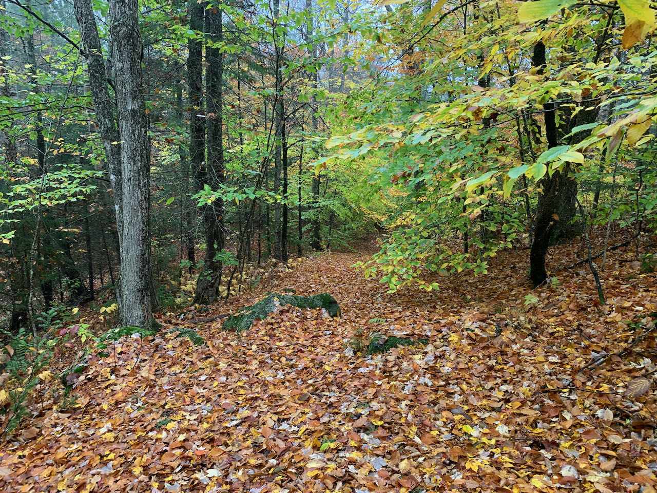
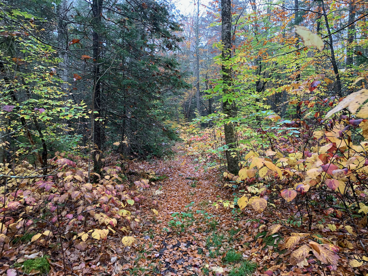
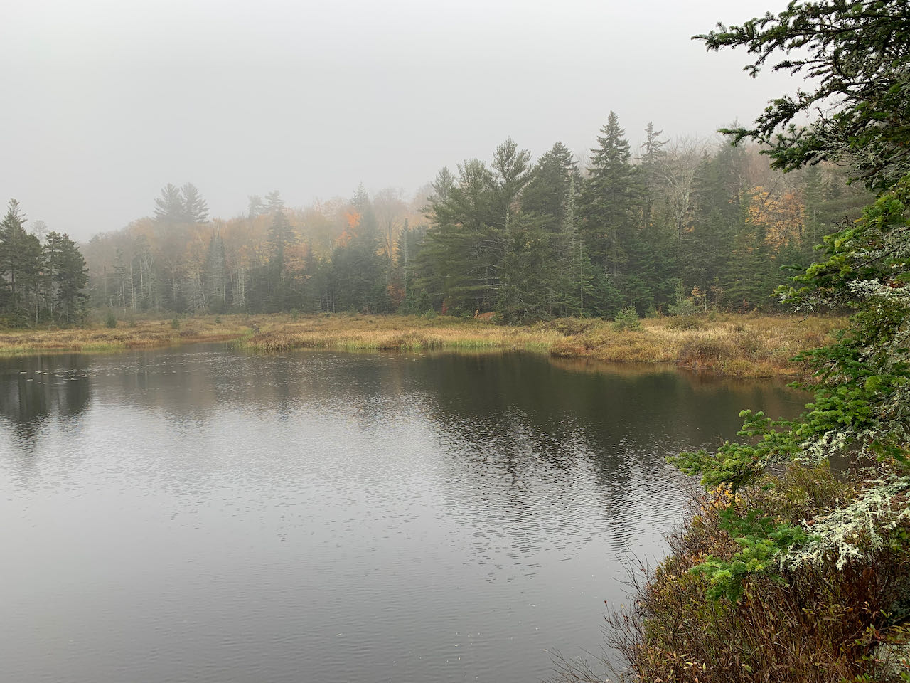
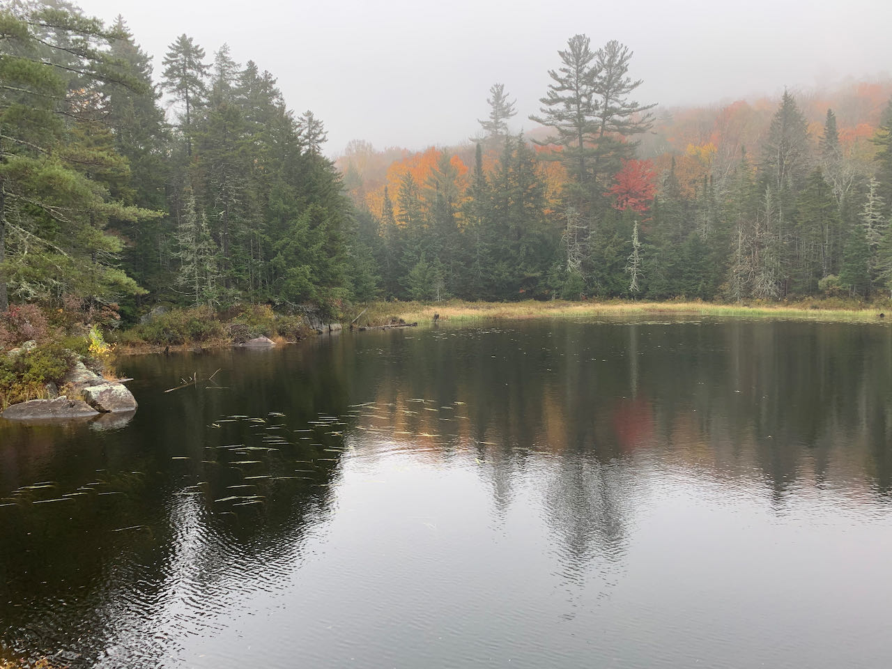
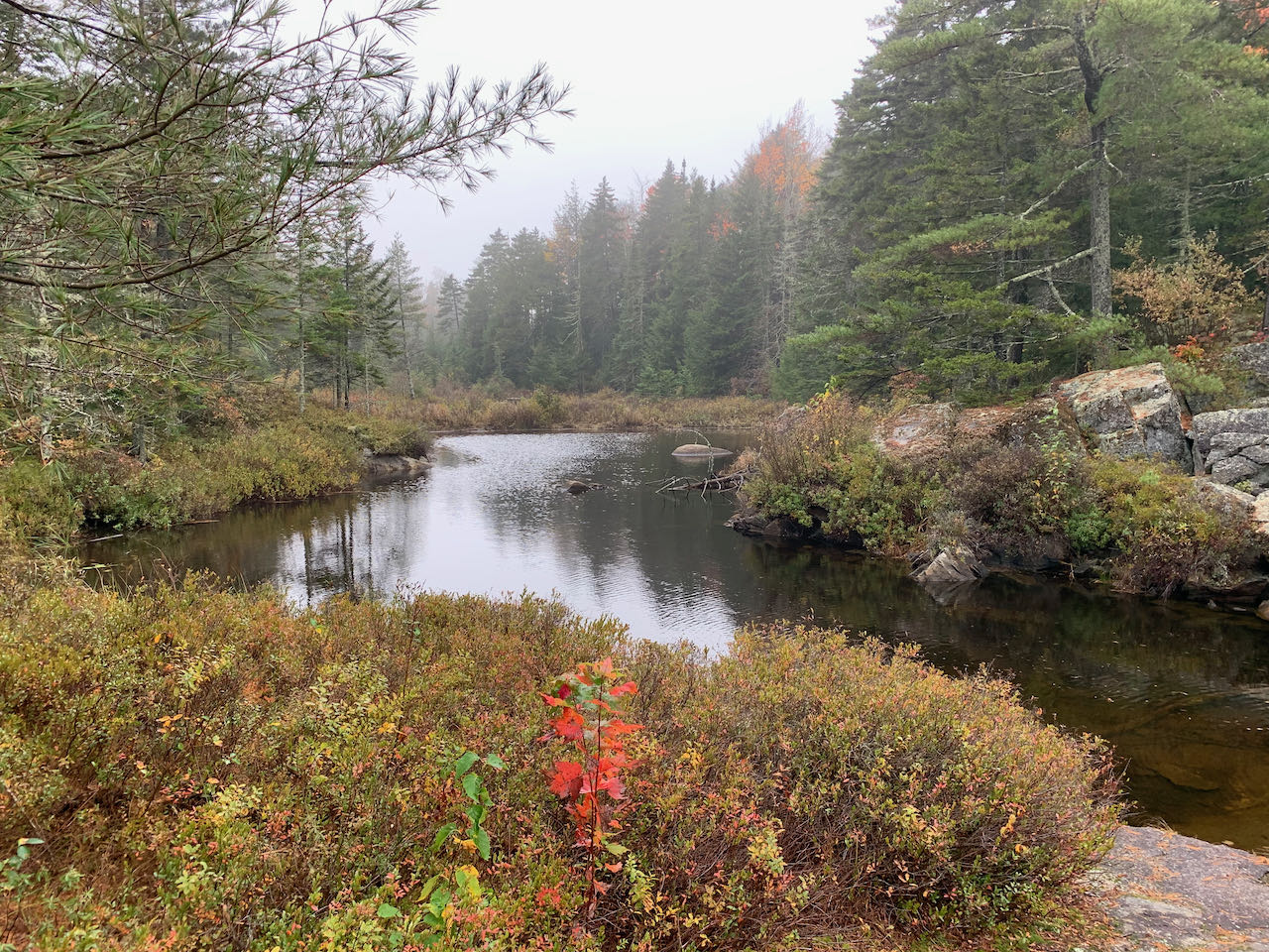
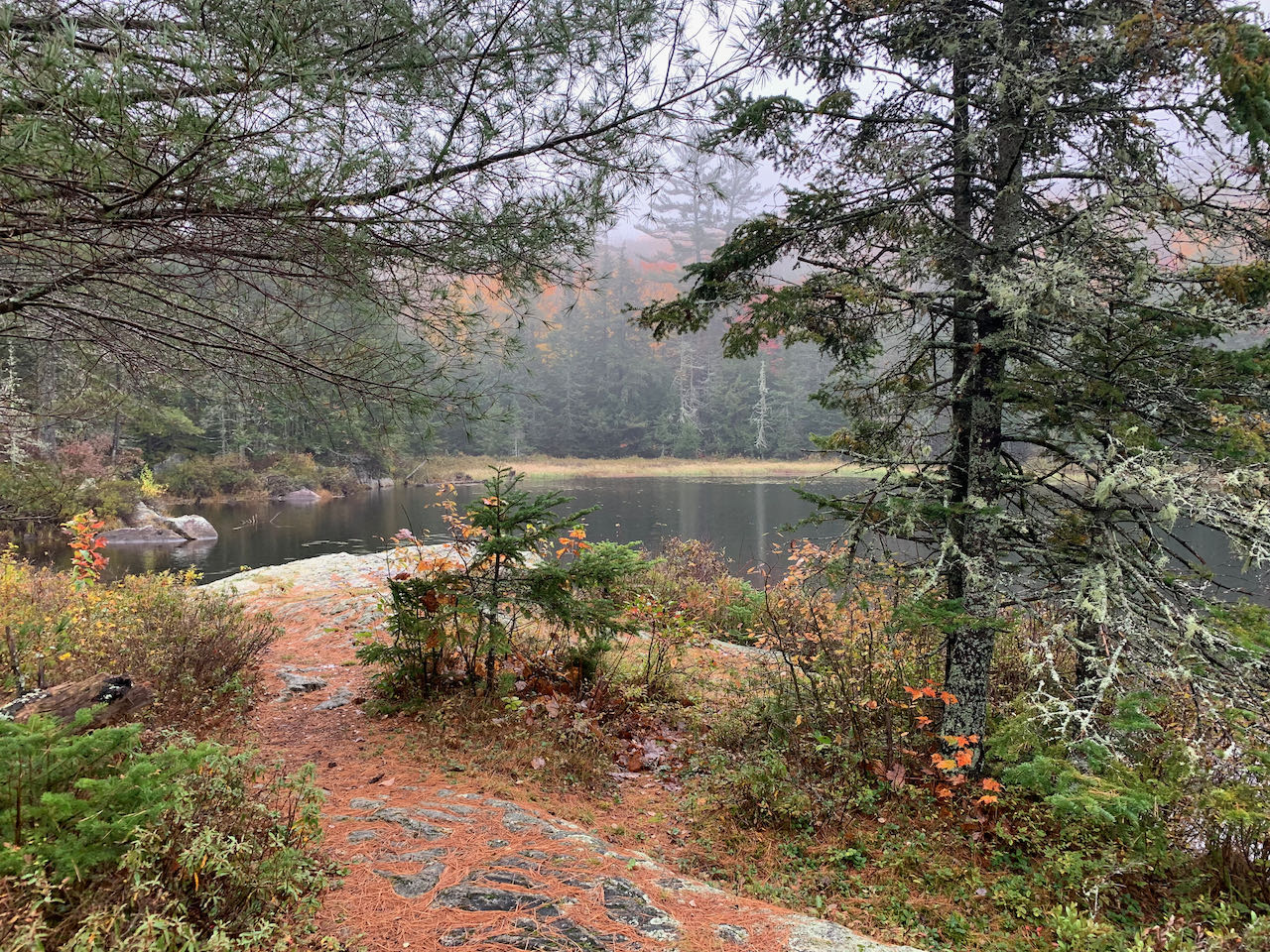
The historic route of Sandwich Notch Road is rife with scenery, including all sorts of hiking destinations. Atwood Pond is a small, secluded pond just on the north side of the notch itself that few people know about. It is a perfect place to stop and enjoy the solitude if you are on your way through Sandwich Notch or travelling to Waterville Valley. The most difficult part of the journey is simply finding where the trail begins. Starting from the row of boulders, the unmarked path descends into the woods, then levels out and leads toward the pond. Approaching the water, the path swings right and climbs over a knoll where a few stray paths evidence camping activity. Walk through a corridor of trees along the shore and emerge at a picturesque spot on a waterside ledge. This is the perfect place to survey the water as it drifts from the open water to the right toward the marshy outlet on the left.
Printable directions page